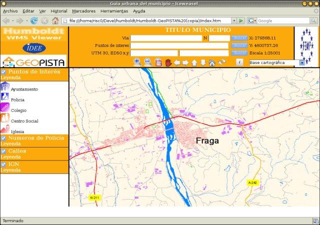
Map Service
Advertisement
SUAS MapServer v.3.21.1213.beta1
PHP based Web Map Service (WMS) and WFS implementation according to OGC's specification.
Advertisement
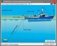
FIRMette - Desktop v.1.0.3
The FIRMette Desktop application was developed to enable users to create and print a selected portion of a Flood Insurance Rate Map (FIRM).
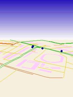
TatukGIS Viewer v.2.9.0.5307
TatukGIS Viewer opens most GIS/CAD vector, raster image, and grid file types, including the aerial imagery and vector street map data provided by the leading vendors, most ArcView, ArcExplorer, and MapInfo projects,

GPS App v.0.4.0.0
GPS application for Geocaching. Find geo coordinate by using GPS/compass display or using map tracking. Simple and easy to use geo caching application - Happy hunting! Changes: * The graphics has been updated and is now using the compass from the
ArcGIS for AutoCAD v.3.0.210
ArcGIS for AutoCAD is a free, downloadable plug-in application for AutoCAD that provides improved interoperability between AutoCAD and ArcGIS. Within the AutoCAD environment, you gain easy access to enterprise GIS maps hosted by ArcGIS Server.
ArcGIS Explorer v.10.0.1700
ArcGIS Explorer Desktop is a free GIS viewer that gives you an easy way to explore, visualize, and share GIS information. ArcGIS Explorer adds value to any GIS because it helps you deliver your authoritative data to a broad audience.
DRAGSENS v.4.01
DRAGSENS Geo Software is used for the exact position estimation of a towed body, sensor, camera, array or net, dragged behind a ship, aircraft or vehicle. The software allows a real-time estimation of the position of a dragged sensor.
SFS Real Estate v.2 1
SFS Real Estate is a complete turnkey solution made in PHP and using MySQL database. Our software allows individuals and real estate agents post their properties for a fee. There are following features for real estate agents and agencies:
TNTmap Widget v.2007:73
TNTmap.

Icons-Land Vista Style GIS/GPS/MAP Icon Set v.2.0
Vista Style GIS/GPS/Map Icon Set is of perfect design quality. Being represented in 7 sizes, icons can be widely used in local service applications, GPS tracking and GIS applications, and any kind of mapping applications.